European sideAdministrative district (ilçe)

Sarıyer

Sarıyer runs along the European shore from the Bosphorus to the Black Sea coast. It combines old Bosphorus villages and large forests, and in its south-west lies Maslak, which Istanbul Technical University describes as Istanbul’s new business and trade centre.

See properties in this district Talk to a property advisor

At a glance

  • M2 metro stations inside the district, including İTÜ-Ayazağa and Hacıosman
  • Belgrad Forest and Atatürk City Forest within its boundaries
  • Major university campuses such as Istanbul Technical University and Koç University
SideEuropean side
Population344,883TÜİK · ADNKS 2025 · 31 Dec 2025 · district level
Area (municipality figure)176.13 km²Sarıyer Municipality — Strategic Plan 2025–2029
Approximate density1,960 people/km²Link Property’s calculation: TÜİK 2025 population ÷ OpenStreetMap boundary area
Neighbourhoods (mahalle)38Sarıyer Municipality — Strategic Plan 2025–2029
Link Property projects here4
Population data date:
31 Dec 2025 (TÜİK, published 9 Feb 2026)
Boundaries and computed areas extracted:
27 Oct 2026 (OpenStreetMap)
This page last reviewed:
28 October 2026

Sources: 1, 2, 7

Location and neighbouring districts

The Black Sea lies to the north and the Bosphorus to the east, with Beykoz across the water on the Asian shore. Eyüpsultan borders it to the west, and Kağıthane and Beşiktaş to the south.

Neighbouring districts

Districts on which the municipality’s plan and the OpenStreetMap administrative boundaries agree.

Sources: 2, 7

EyüpsultanKağıthaneBeşiktaşSarıyer

Transport and roads

Rail and metro

M2
Yenikapı – Hacıosman · MetroStations inside the district per the municipality’s plan include İTÜ-Ayazağa, Atatürk Oto Sanayi, Darüşşafaka and Hacıosman.
F3
Seyrantepe – Vadistanbul · FunicularVadistanbul station is in Ayazağa, with a transfer to the metro at Seyrantepe.
M6
Levent – Boğaziçi Ü./Hisarüstü · MetroListed in the municipality’s plan among the lines serving the district.
Sea transportŞehir Hatları Bosphorus ferries, with piers including Emirgan, İstinye, Büyükdere, Sarıyer and Rumeli Kavağı.
Under constructionNo line is confirmed as under construction; a Hacıosman – Çayırbaşı – Sarıyer extension is only at the feasibility-study stage.

Main roads

  • The Northern Marmara Motorway (O-7) and the Yavuz Sultan Selim Bridge, whose European end is at Garipçe in Sarıyer.
  • The Fatih Sultan Mehmet Bridge and the TEM motorway (O-2), whose European end is at Hisarüstü.

Straight-line distance to key places

Istanbul Airport (IST)18 – 34 km
Sabiha Gökçen Airport (SAW)29 – 50 km
Taksim Square6 – 25 km
Levent (business district)1 – 20 km

Link Property measurement in a straight line from the nearest and farthest points of the district boundary (OpenStreetMap). Road distance is longer, and travel time changes with traffic.

We do not quote fixed travel times; they change with time of day and route. We show you how far each project is from the nearest station and test the journey with you on the tour.

Sources: 2, 4

Education, health, shopping and green space

Universities

  • Istanbul Technical University (İTÜ) — Ayazağa campus, Maslak
  • Koç University — Rumelifeneri campus
  • Boğaziçi University — North and Kilyos campuses
  • Istanbul University Faculty of Forestry

Hospitals

  • İstinye State Hospital
  • Metin Sabancı Baltalimanı Bone Diseases Training Hospital
  • Hamidiye Şişli Etfal — Çayırbaşı campus in Sarıyer
  • Acıbadem Maslak Hospital (private)

Shopping

  • Vadistanbul — Ayazağa
  • UNIQ İstanbul — Huzur
  • İstinye Park

Green space

  • Belgrad Forest and the Atatürk Arboretum
  • Atatürk City Forest
  • Emirgan Grove
  • Forests of the Rumeli Kavağı – Rumeli Feneri – Kilyos triangle
This district’s malls on the Istanbul malls mapİstinyeParkVadistanbul

A selection we verified as located inside the district; not a complete list.

Sources: 2, 3, 5, 6

Housing character

Link Property advisors’ view

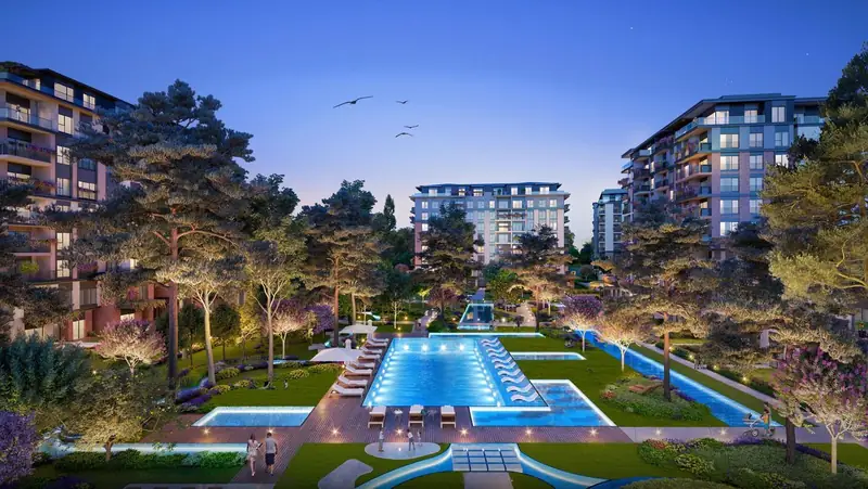
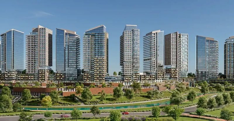
Housing ranges from Bosphorus waterfront homes and hillside neighbourhoods to modern complexes near Maslak and Ayazağa. The municipality’s plan describes a mix of high-end coastal housing and neighbourhoods built on the slopes.

Who does this district suit ?

  • People who work in Maslak or study at Istanbul Technical University and want to live near the M2 stations in Ayazağa
  • Those who prefer being near Belgrad Forest and Bosphorus villages such as Emirgan and İstinye
  • Anyone who relies on the Northern Marmara Motorway or the Yavuz Sultan Selim Bridge

What should you take into account ?

  • The northern villages such as Kilyos have no metro stations, so travel there depends on roads and a car.
  • Maslak and the Bosphorus villages differ a lot in housing and services, so we compare the neighbourhood, not just the district name.
  • M6 is listed in the municipality’s plan, but we have not verified where its stations sit inside the district; we confirm it per project.

Population density and congestion

1,960people/km², approximate · Link Property’s calculation: TÜİK 2025 population ÷ OpenStreetMap boundary area

Among the least dense of the guide’s 31 districts, because forests cover much of its area. The average hides the gap between built-up neighbourhoods such as Maslak and Ayazağa and the northern villages.

What does density mean day to day ?

Density is an average for the whole district: population divided by area. It does not measure traffic directly, but it gives a sense of daily life: higher density usually means shops and services closer by and busier streets, lower density means more space and quiet, sometimes with more reliance on a car.

There is no official traffic-congestion indicator at district level, so we do not show a figure for it. We suggest trying your usual route at rush hour during the tour.

Approximate density in the guide’s districts

Gaziosmanpaşa 40,610
Bahçelievler 32,400
Bağcılar 31,800
Kağıthane 30,540
Bayrampaşa 28,410
Şişli 24,600
Beyoğlu 24,190
Zeytinburnu 24,020
Esenyurt 23,410
Esenler 22,780
Fatih 21,650
Kadıköy 18,260
Küçükçekmece 17,740
Ataşehir 16,360
Ümraniye 16,110
Üsküdar 14,540
Sultangazi 14,470
Kartal 12,320
Beylikdüzü 11,060
Maltepe 9,740
Beşiktaş 9,180
Avcılar 8,540
Sancaktepe 7,890
Bakırköy 7,330
Başakşehir 5,040
Pendik 3,950
Sarıyer 1,960
Eyüpsultan 1,840
Büyükçekmece 1,750
Beykoz 790
Arnavutköy 750
people/km² · the same method for every district: TÜİK 2025 population ÷ OpenStreetMap boundary area, rounded to the nearest 10

Sources: 1, 7

Market overview

We do not show an average price or rent for this district

We do not have standardised, reliable price data for the district as a whole, so we show no average price, rent or yield, and no price-growth forecasts.

Asking priceThe price requested in a listing or a developer’s price list; it can differ from the final price.
Actual sale priceThe price registered at the transfer of title; it is not published in a standardised way at district level.
What we offerOur project prices with the date of each price list, and an up-to-date comparison of specific units on request.
Request an up-to-date price comparison

Advantages and challenges

Link Property advisors’ view

Advantages

  • M2 metro stations inside the district
  • Large forests and green areas
  • Well-known universities and hospitals
  • Bosphorus ferries and large shopping centres

Challenges and considerations

  • Its size makes access between neighbourhoods uneven
  • The northern villages are far from metro lines
  • Character changes a lot from one neighbourhood to the next

Link Property listings in this district

Projects from the Link Property list located in this district.

Data from the developers’ files in the Link Property list. Prices reflect the date of each price list, may change, and are confirmed by your advisor before any reservation. We checked the administrative address on the developer’s page or in valuation reports published on KAP for every project shown with an “Address source” link (27–28 October 2026).

Questions about the district

Is Maslak a separate district ?

No. Maslak and Ayazağa are neighbourhoods (mahalle) of Sarıyer district, according to the neighbourhood list in the municipality’s 2025–2029 strategic plan.

Which metro lines serve Sarıyer ?

The M2 line (Yenikapı – Hacıosman) with stations inside the district, the F3 funicular to Vadistanbul, and the municipality also lists M6. We show you how far each project is from the nearest station during the consultation.

Can buying property in Sarıyer be part of a citizenship application ?

Eligibility does not depend on the district’s name. It depends on the property’s conditions, value and valuation, and on the rules in force at the time of application, which can change. We explain the current requirements for each property and recommend confirming them with the official authorities or a qualified legal adviser before any decision.

Do you publish average prices for the district ?

No. Data at district level is not standardised and is mostly asking prices in listings rather than actual sale prices. We show our project prices with the date of each list, and your advisor provides an up-to-date comparison on request.

Are buildings in this district earthquake-safe ?

We do not judge any building’s safety by the district’s name or location. Structural safety belongs to the building itself: its permit year, compliance with the building regulations in force, and its technical documents and reports. We help you request these documents and review them with specialists before buying. What you can check before buying

Talk to a property advisor about Sarıyer

We answer your questions about the district and suggest units that fit your goal and budget, with no obligation.

Contact us on WhatsApp Help me choose the right district +90 530 955 15 66
Other districts in the guide
Choose or search for a district30 districts

Sources for this page

  1. Turkish Statistical Institute (TÜİK) — Address-Based Population Registration System (ADNKS) results, 2025 — Reference date 31 Dec 2025 · published 9 Feb 2026 · District (ilçe) level
  2. Sarıyer Municipality — Strategic Plan 2025–2029 — Accessed 27 Oct 2026
  3. Istanbul Technical University — Ayazağa campus — Accessed 27 Oct 2026
  4. Şehir Hatları — piers and routes — Accessed 27 Oct 2026
  5. Official Ministry of Health hospital sites (saglik.gov.tr) — Accessed 27 Oct 2026
  6. Official sites of the universities listed (address and campus pages) — Accessed 27 Oct 2026
  7. District boundaries: © OpenStreetMap contributors, ODbL 1.0 — Extracted via Nominatim on 27 Oct 2026, simplified for display · Administrative boundaries of the 39 districts (admin_level 6)

This page last reviewed: 28 October 2026. Each figure’s date is shown next to its source, and we update figures when new official data is published.